Moganshan Mountain
Our fist view and experience with the mountain was by climbing it ! Our host told us we could easily take the shortest way, and as you may know, the shortest way up a mountain is the steepest ! We started at those houses down at the bottom of this canyon, and walked up the road below, up to that water reservoir in the middle. That was the easy part. Then we climbed in the heat up from the water to where the camera is, through the bamboo, using the left-side ridge (the light colored one)
![]()
We continued up that light-colored ridge (the nearest ridge in front of the camera), from right to left, up to the top, which is just out of view on the left.
![]()
More mountain views, this one from the lookout point, looking Northeast.
![]()
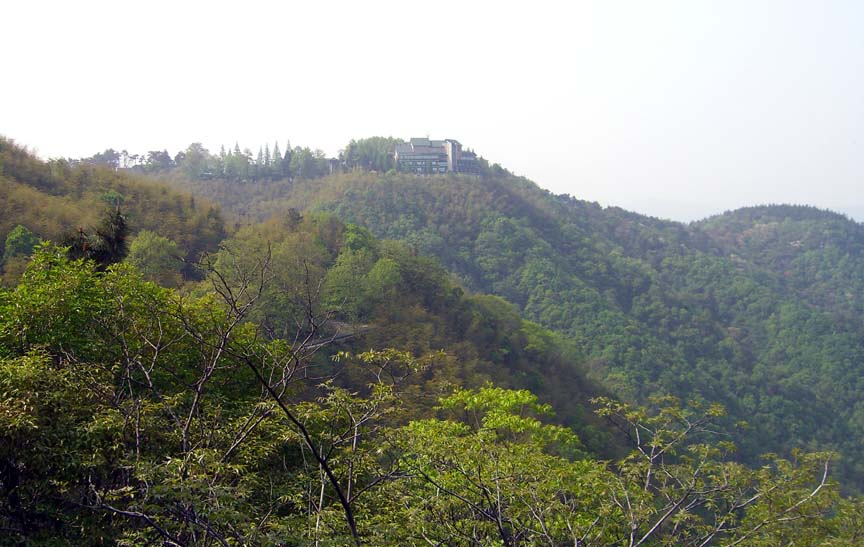
Lookup back up the hill from the outlook point, into the core of upper Moganshan (a bit foggy today).
![]()
A reverse view, from up at the top down into the valleys
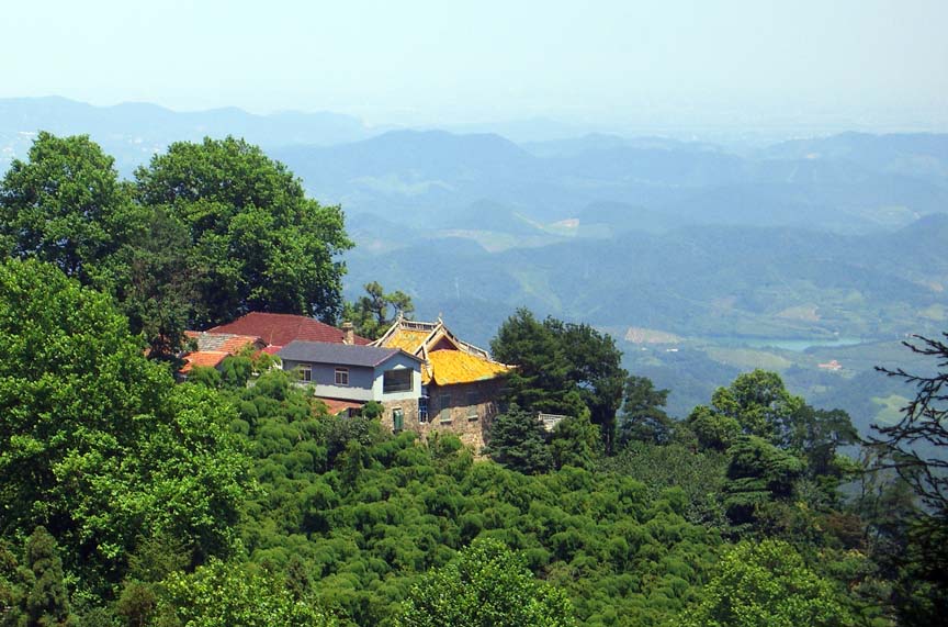
Another view from the top, of the other top - where the ChiangKaiShek museum and government hotel is
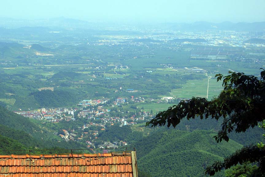
Very clear view of the village at the base of the mountain - people call it Moganshan Village, but it actually has a different name.
![]()
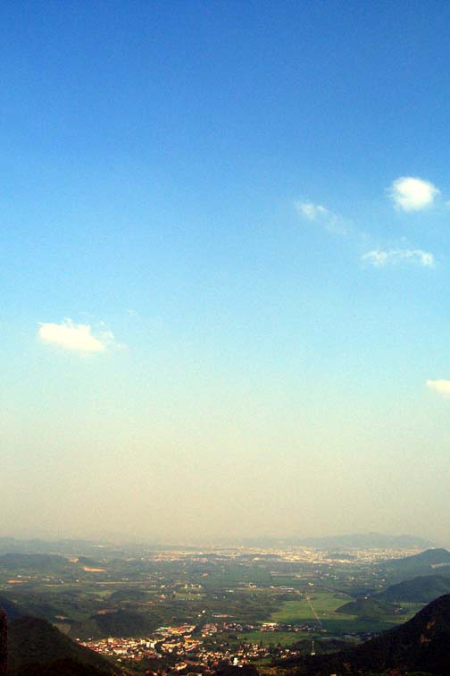
And a view of the city of Wukang in the distance, about 20km away.
One day the sky was blue and the weather beautiful, though as
you move down from straight up,
you can see the pollution closer and closer to the ground
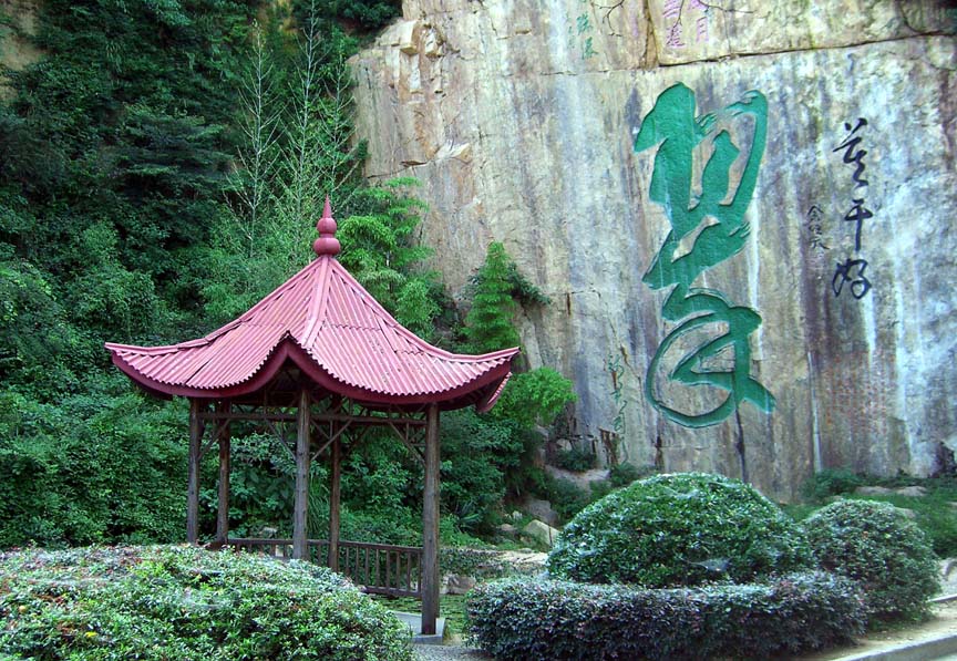
Famous water hole with very old carved/painted calligraphy - apparently the largest by this painter